


Cape Cod National Seashore, by the numbers
How a federal entity inhabits (and defines) this place

Most of us don’t take Cape Cod National Seashore for granted — at least we know we’re not supposed to — but neither do we comprehend its scale and impact.
This is a small attempt to redress that, hard info that captures historical, geographic, economic, and environmental elements.
If you happen to be sitting on a National Seashore beach, these factoids might pass the time while looking up to glimpse the Atlantic.
If you happen to be seeking some Cape Cod Trivial Pursuit questions, good answers lurk here.
These numbers reveal an impactful federal presence. They also serve as a profound reminder of what was forestalled:
Had this federal interloper never barged in, the stats we would be perusing would be huge build-out numbers. Instead:
Seashore snapshots
Year created:
1961
Authorized acres within the boundary:
43,500+
(This includes buffers extending offshore)
Land acreage in federal ownership and control:
27,000+
Miles of oceanfront:
45
Number of towns with Seashore holdings:
6
(Provincetown, Truro, Wellfleet, Eastham, Orleans, Chatham)
Percentages of land in towns owned by the Seashore:
Provincetown, 90%. Truro, 80%. Wellfleet, 70%. Eastham, 33%. Orleans, 20%. Chatham, 10%.
(These are rough but generally accurate estimates, based on public references over many years; I was unable to locate exact town breakdowns.)
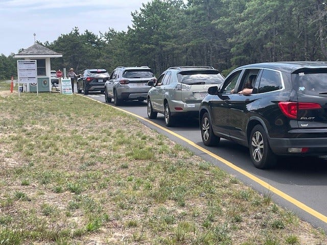
Annual total visitors:
Around 4 million
Popularity ranking:
Of 423 National Park Service sites, 17th in total visitors.
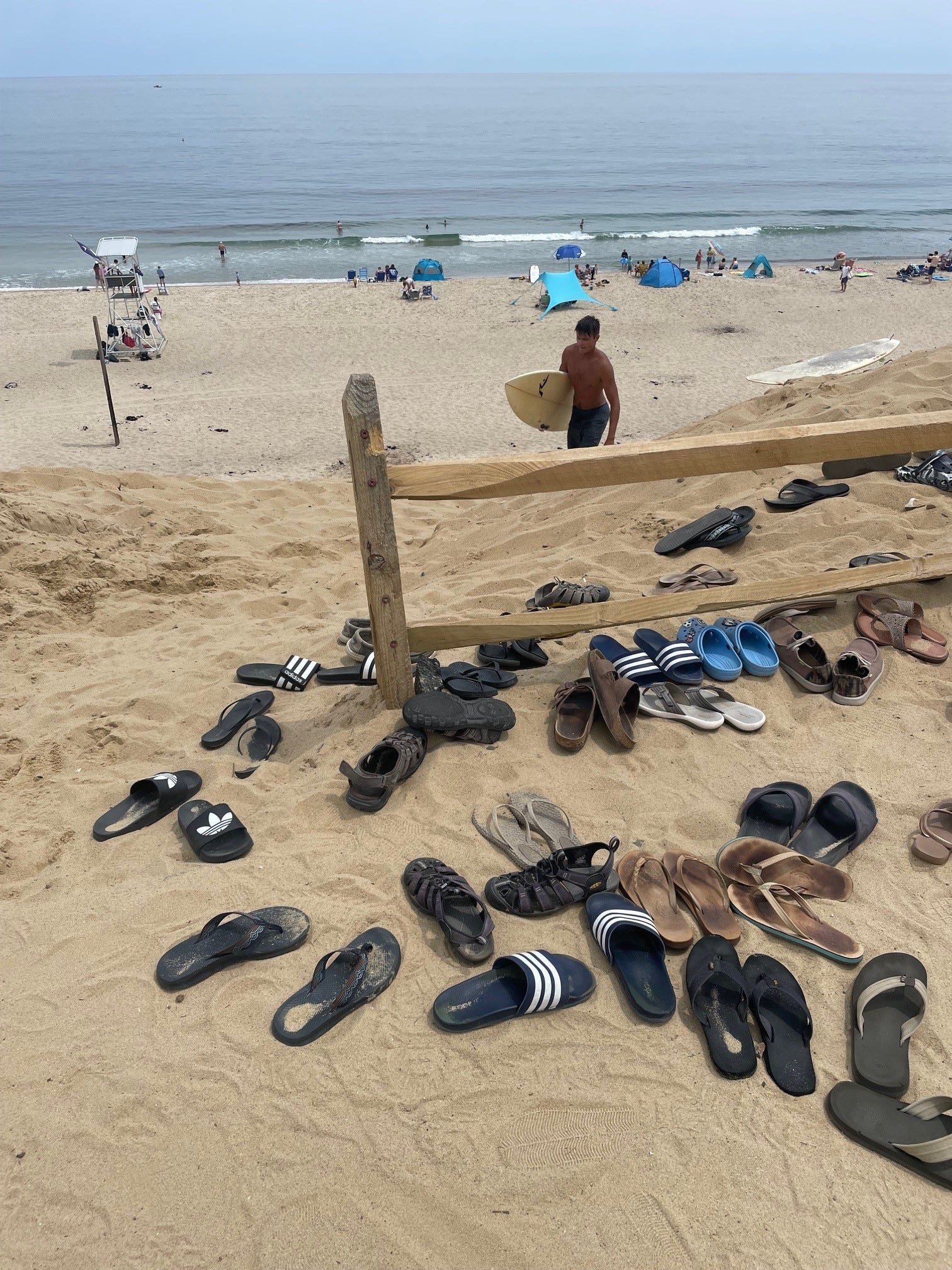
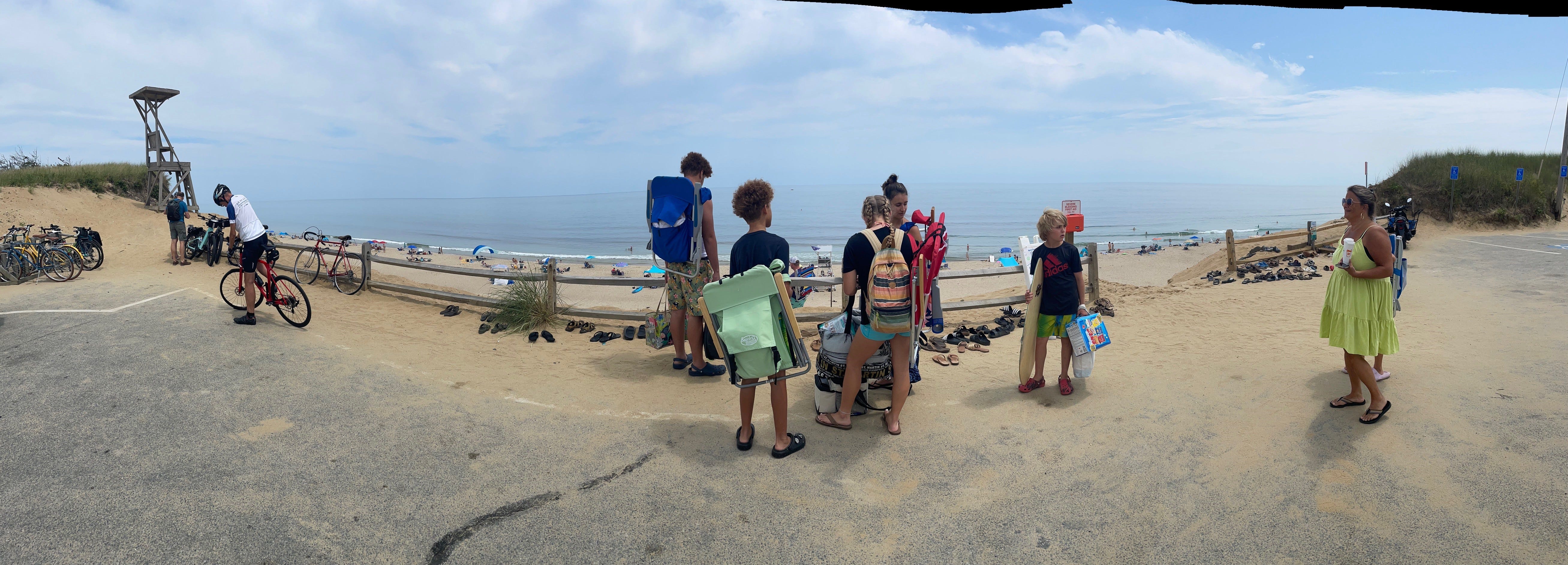
Public beaches in Seashore management:
6
(After much debate in the 1960s some towns decided to keep beaches in town control, for example Nauset in Orleans and multiple beaches in Wellfleet and Truro. The Seashore took Marconi in Wellfleet and Head of the Meadow in North Truro. Eastham’s ocean beaches, Coast Guard and Nauset Light, also went federal. Provincetown turned Race Point and Herring Cove over to the feds, a decision that has been second-guessed ever since, especially Herring Cove.)
Most popular beach:
Race Point, Provincetown.
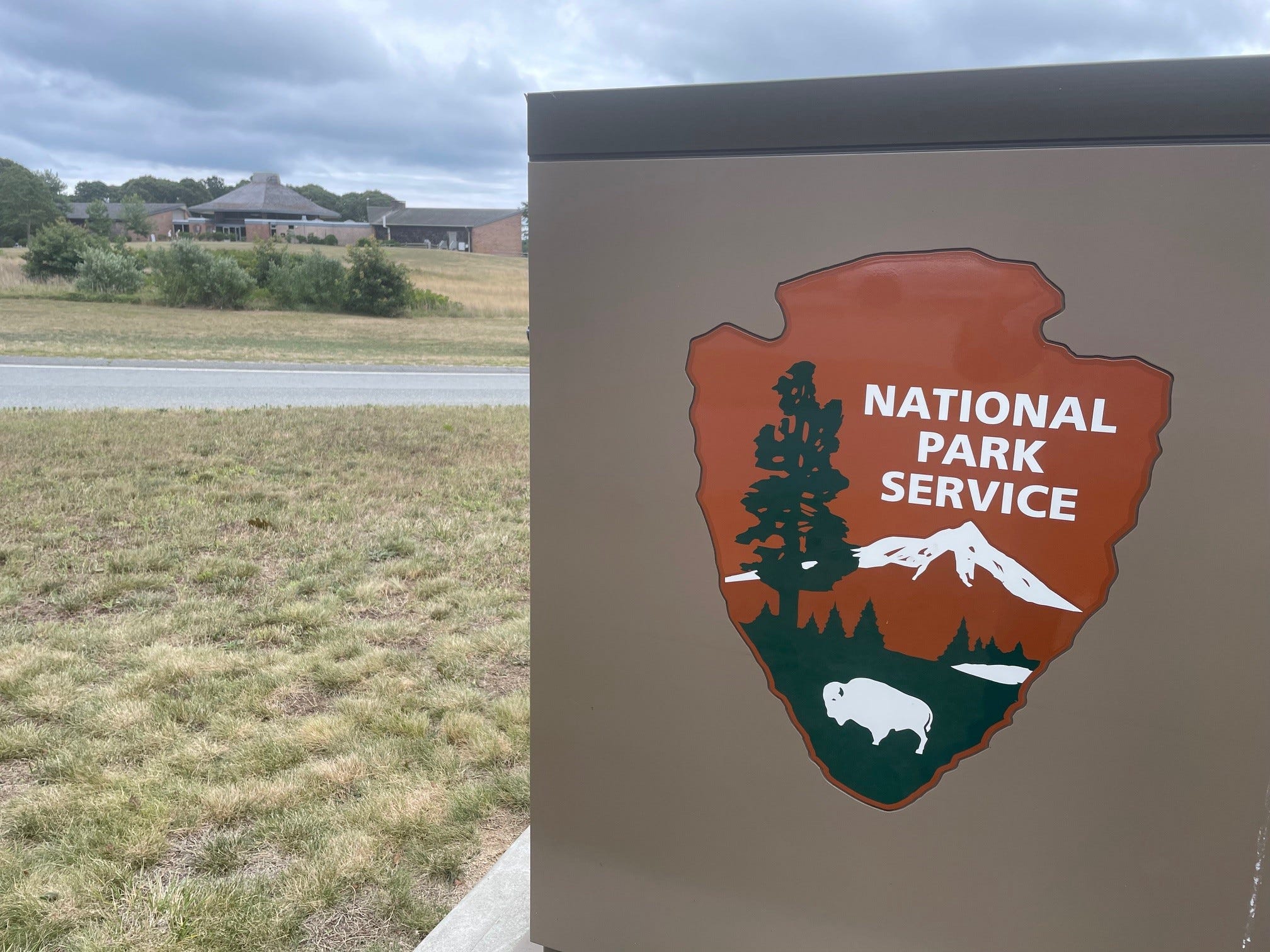
Visitor centers:
2
(Eastham’s Salt Pond on Route 6, and Provincetown’s Province Lands on Race Point Road)
Annual budget:
$8.5 million for the 2024-25 fiscal year
Jobs created:
68 year-round, 125 seasonal
(Not all positions are filled, and the seasonal total includes summer interns.)
Estimated jobs supported by Seashore activity and visitors:
6680
Estimated annual economic spin-off impact to Cape communities:
$750 million
Commercial operators within the Seashore:
27
(The Beachcomber in Wellfleet probably is the most successful seasonal example.)
Concessions:
2
(Highland Links Golf Course in Truro and the Herring Cove Beach Snack Bar in Provincetown)
Housing available for Seashore employees:
24 year-round dwellings, 35 seasonal
(Employees pay the Seashore “market rate” for rentals, based on an analysis of Cape rates. That figure that has doubled in recent years.)
Former military bases:
2
Recreational fees collected per year:
$1.1-$1.45 million
(This includes entrance fees, for example. 80 percent stays in CCNS coffers, the rest diverts into federal off-Cape accounts.)
Off-road vehicle permits:
$350,000
Leasing fees:
$530,000
(This includes the Cape Cod Modern House Trust with 4 homes, Nauset Beach Inn, Payomet Performing Arts, 7 vacation rental properties, a hostel in Truro’s former Coast Guard station, seven duneshacks, and other properties)
Location in the Seashore where erosion is causing greatest loss of shoreline: Coast Guard Beach, Eastham
Average rate of loss over multiple years:
1.95 meters per year, roughly 6 feet 3 inches
Location of second fastest rate of erosion:
Nauset Light, Eastham
Rate of loss:
1.73 meters per year, roughly 5 feet 7 inches
Location in the Seashore where shoreline has been gaining the most sand:
Wood End Light, Provincetown
Average rate of gain over multiple years:
0.97 meters a year, roughly 3 feet
Second fastest rate of gain:
Highland Light, Truro
Rate of gain:
0.02 meters per year, a few inches.
Sources: Cape Cod National Seashore Superintendent Jennifer Flynn’s report to the Cape Cod National Seashore Advisory Committee, April 2024, and other federal reporting.
Haven’t subscribed yet? With all due respect, why not? Make it possible to see a Voice and support good reporting, strong perspectives, unique Cape Cod takes every week. All that for far less than a cup of coffee. Please subscribe:
https://sethrolbein.substack.com/welcome
And if you are into Instagram, want to see some additional material, maybe share the work, here you go:
Thanks for the statistical information! We’re so fortunate that this beautiful piece of the Cape has been preserved for the ages. One data point I didn’t notice is “number of public high schools located within the National Seashore…” I believe Nauset Regional High School is the only school on the east coast located within the National Park system.